The Season of Reminiscence | Tai Tong Autumn Leaves

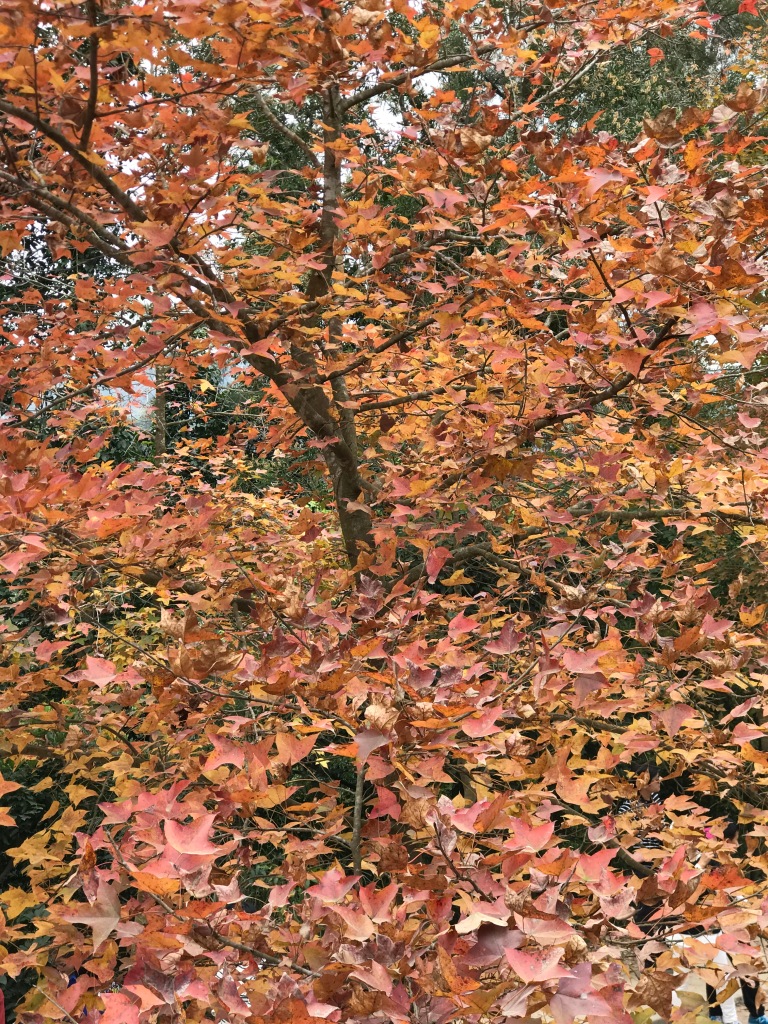
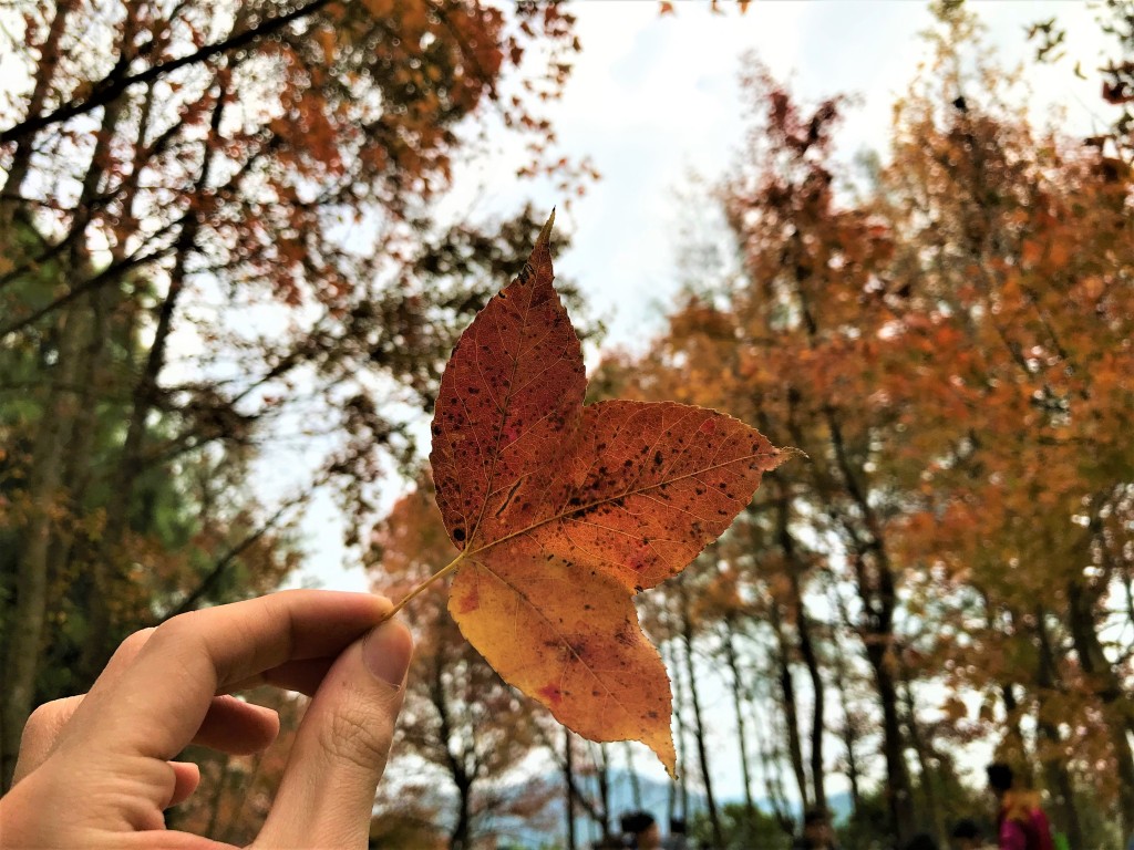
Currently stuck in self-isolation due to contact with a COVID positive person (spent a good total of 6 weeks in isolation this year already lol), and came across photos of the Tai Tong red leaves on my phone from 3 years ago which I was meant to write about back then but for some unforgotten reason left it. Autumn just passed in the UK and is just about starting in Hong Kong – so it felt fitting to write a post now.

Autumn is my favourite season – the rustling of yellowing leaves, the cooling wind breeze, and the crispiness of the floor as you walk through the dried fallen leaves. It’s a season of reflection and reminiscence on memories before the cold approaches.

Duration: 1 hour (one-way)
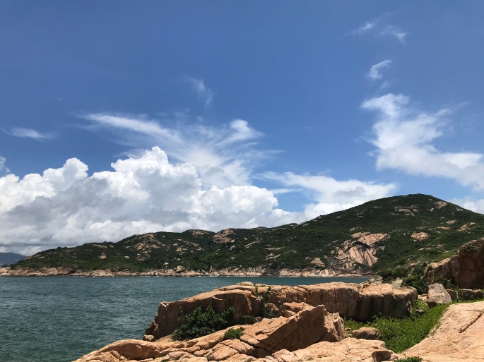
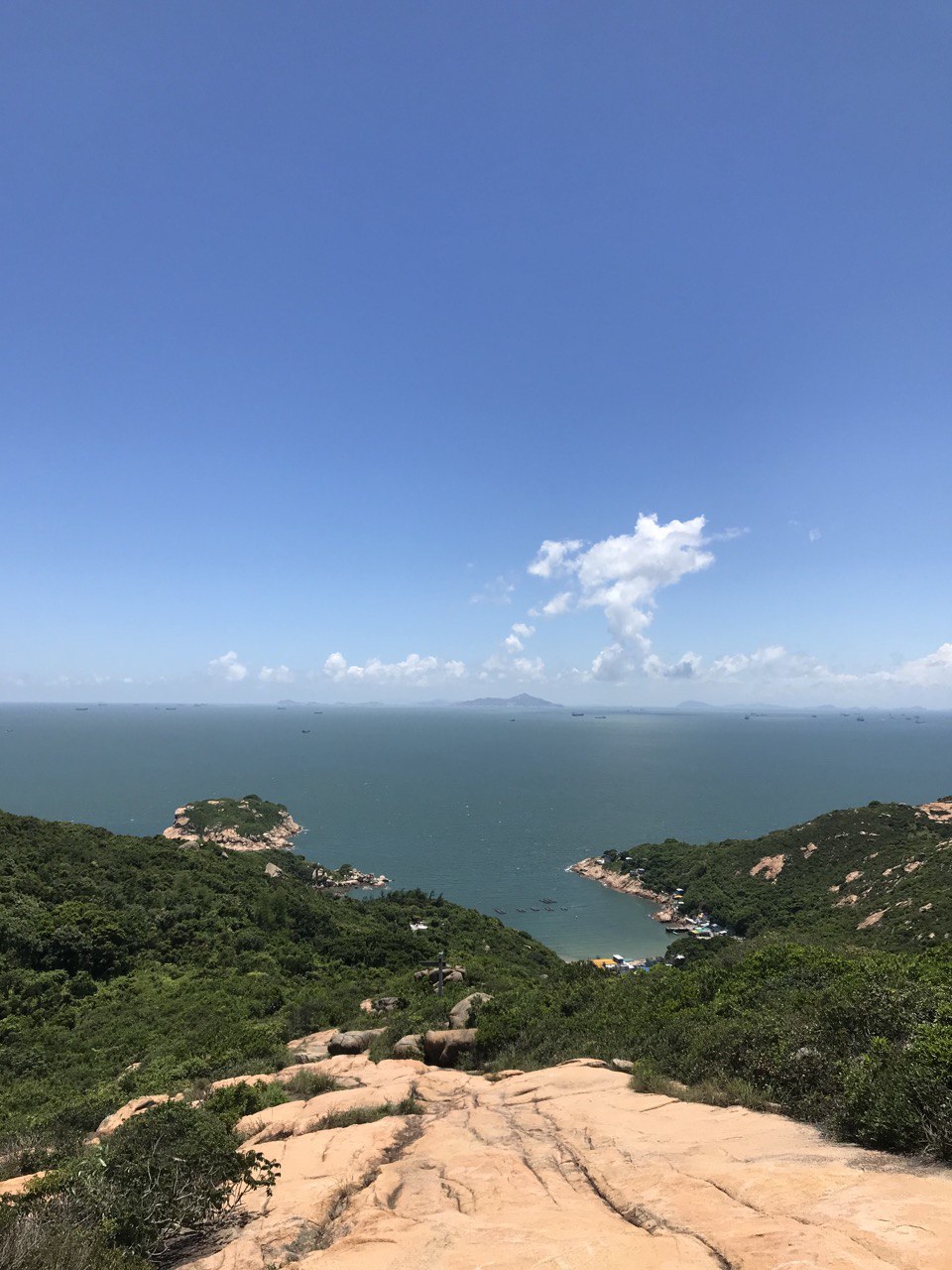
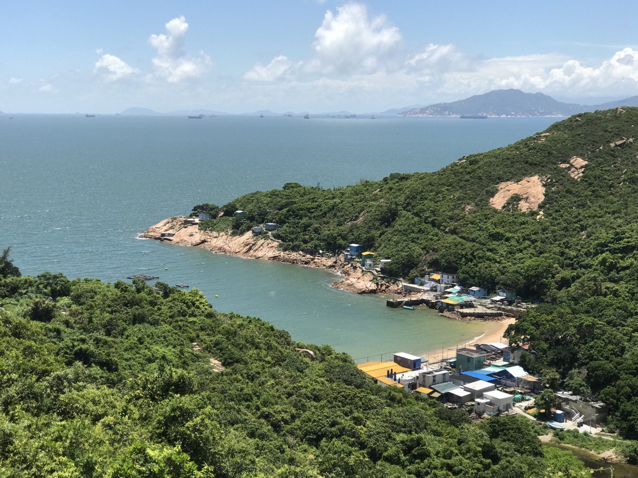
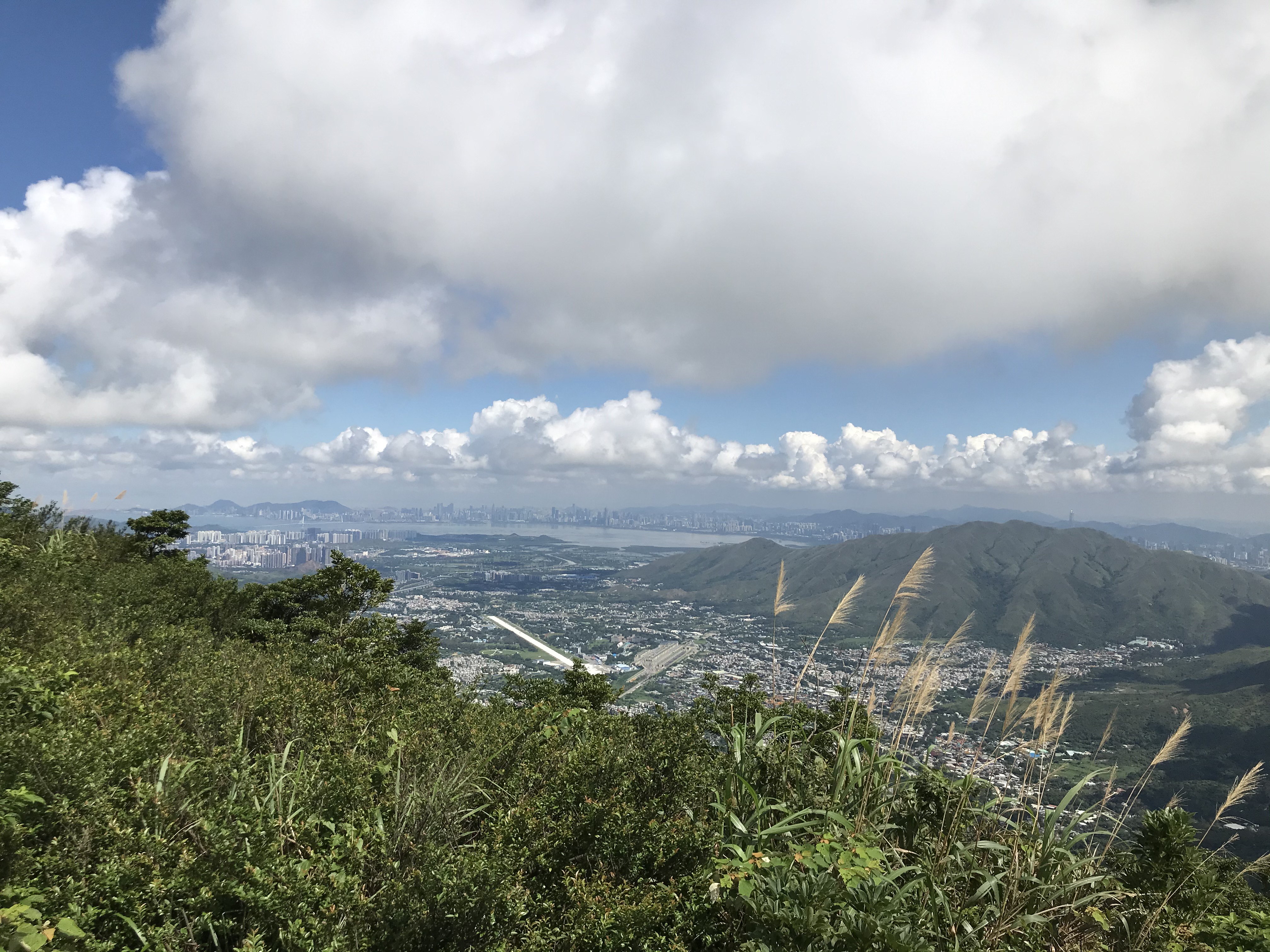
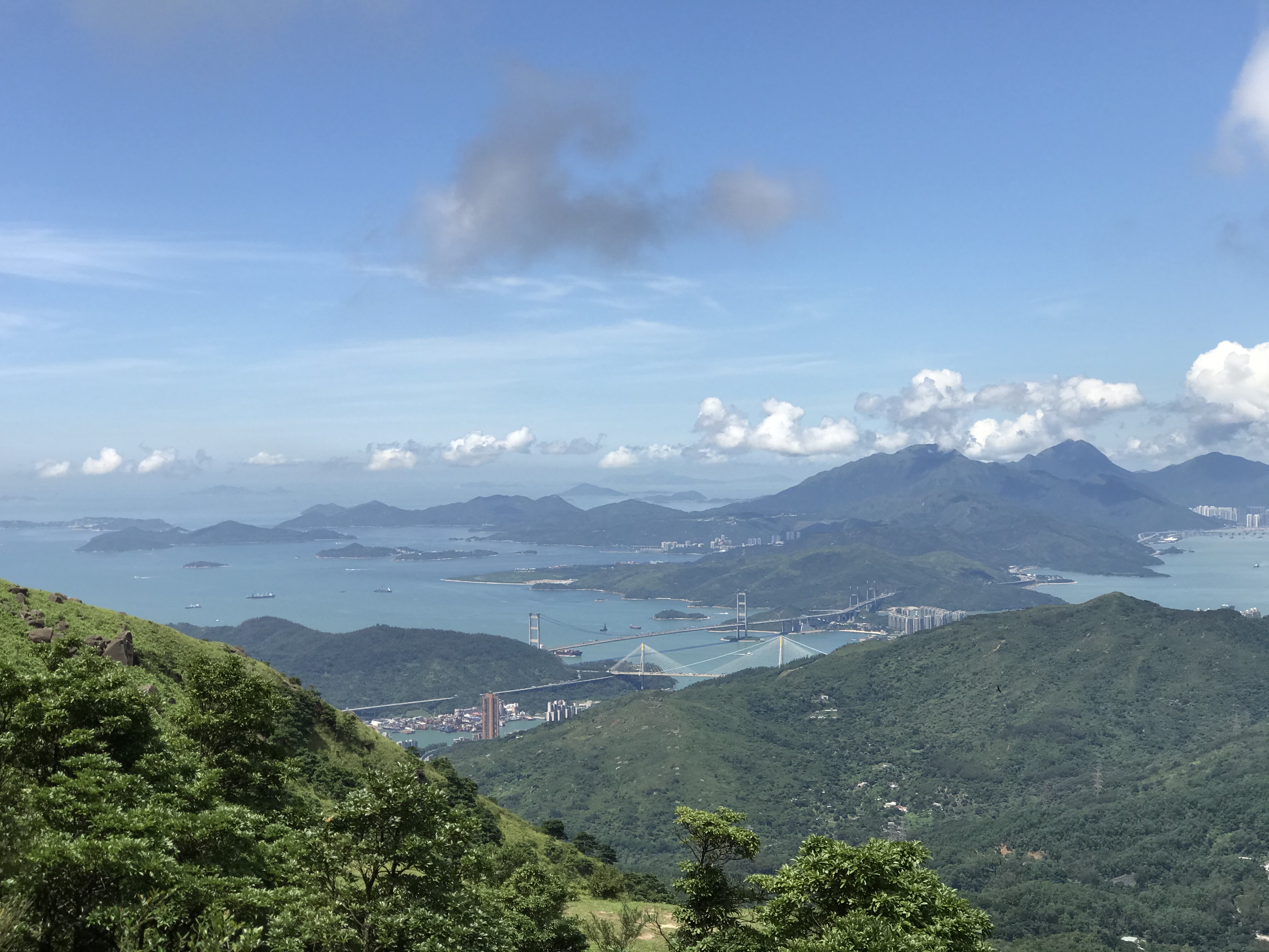
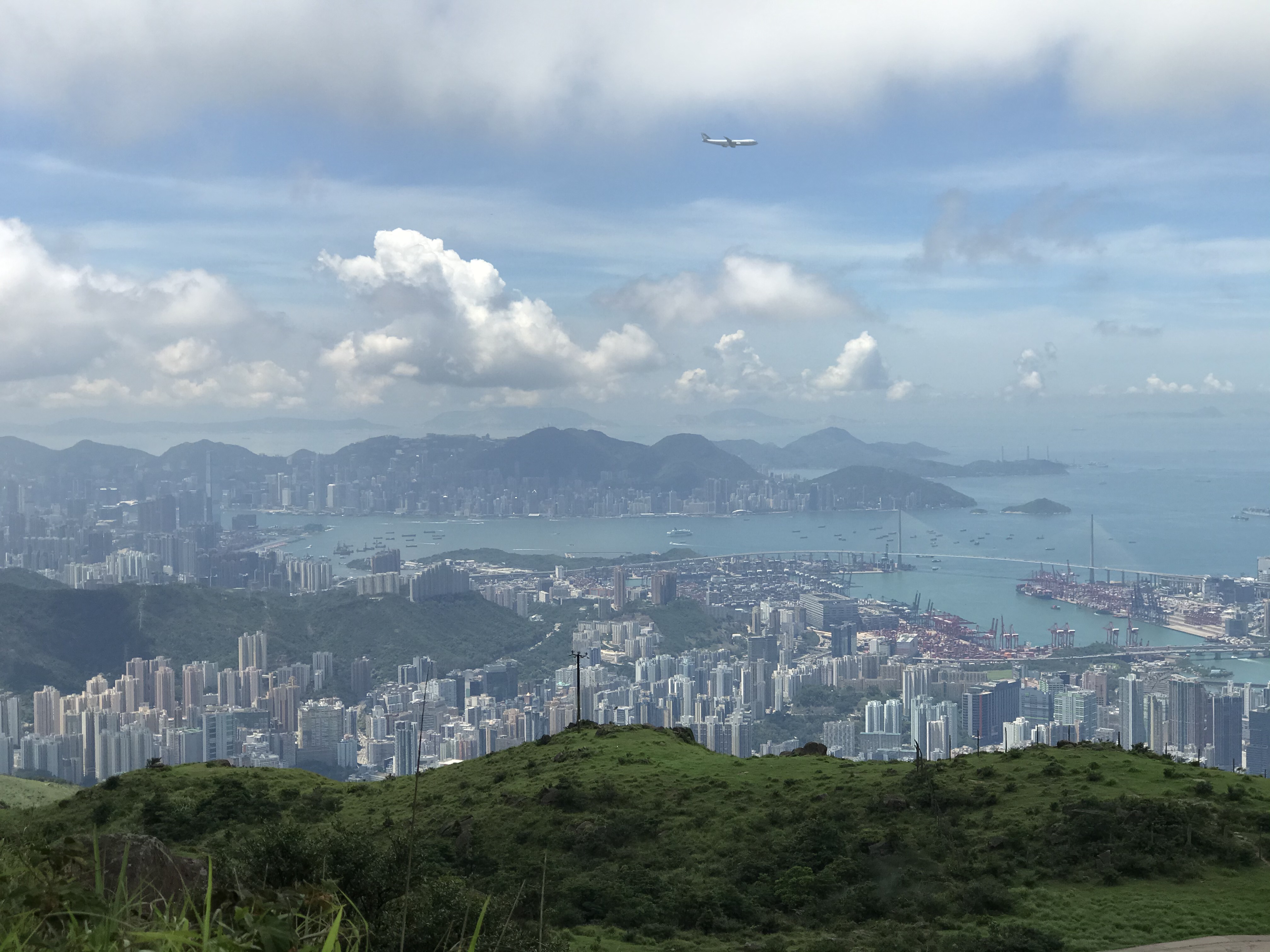
Views: 2/5
Difficulty: 2/5

From what I recall, there isn’t a great lot of transport that brings you directly to the starting point. I would recommend taking the MTR to Yuen Long station, then take the taxi along Tai Tong Shan Road and get off at the Tai Tong Shan BBQ site. Alternatively, there is a car park next to the BBQ site if you choose to drive, but it may be quite difficult to get a space during the red leaves season!

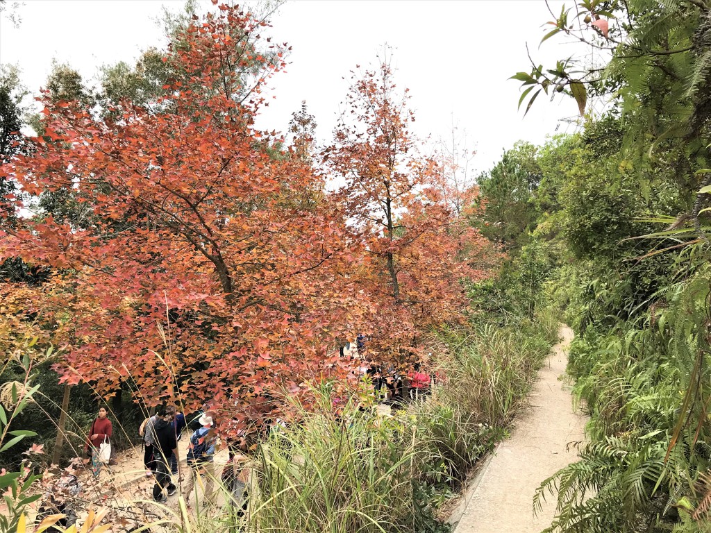
From the BBQ site, there is only one way to the specific stretch of red leaves – it takes around an hour to get there from the start. The view along the way is not very spectacular from what I remember, but it is well paved and quite easy to walk on. There are some gentle inclines but it’s definitely suitable for people will minimal experience of hiking.  

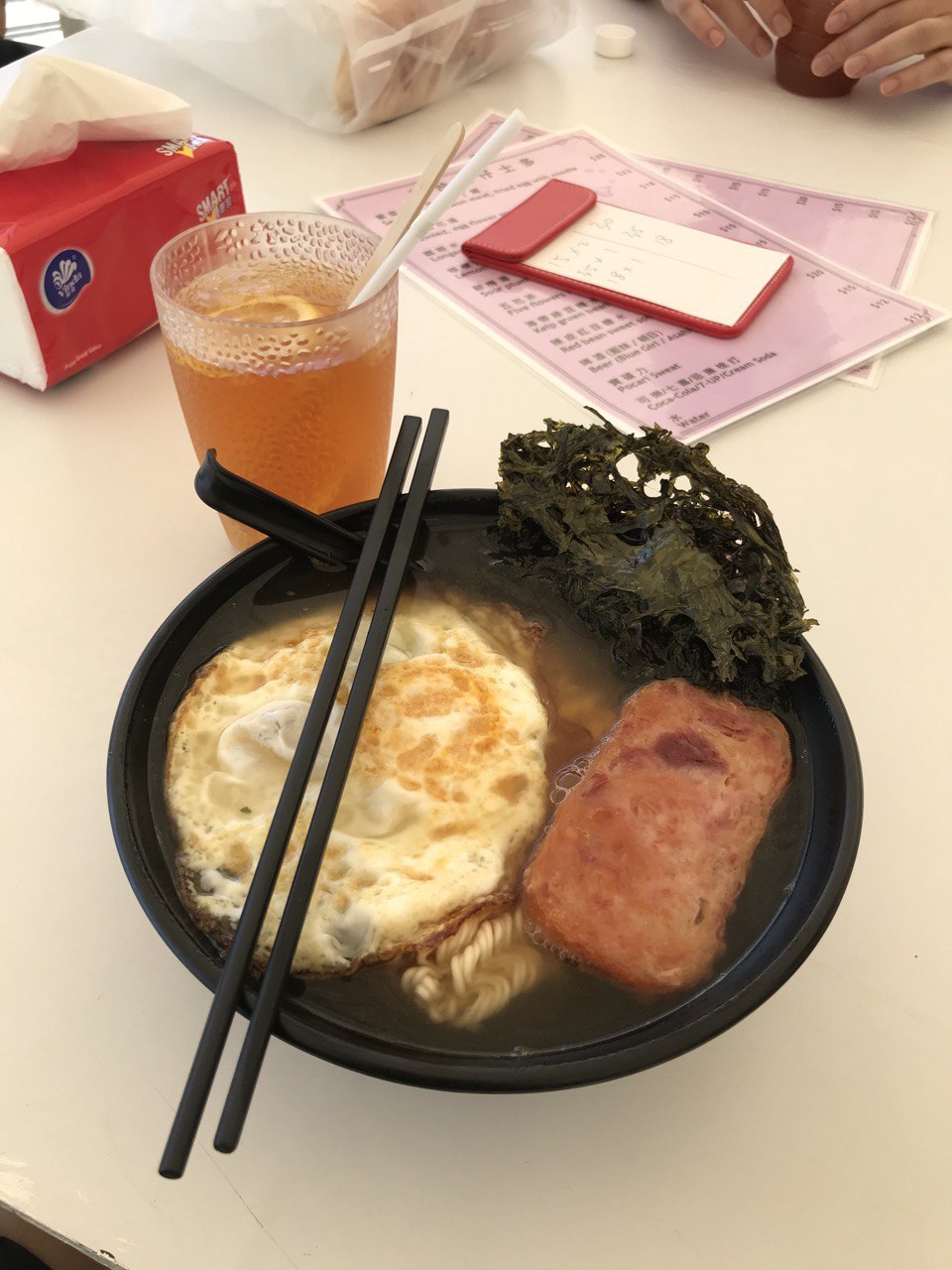
I remember walking to the very end of the stretch of red leaves and turning back with my friends. There can be quite a lot of people during this season to admire the leaves, so do respect each other as well as the environment. Please do not pluck any leaves from the trees directly and just be sensible when taking photos. Since it will be getting cold soon, it might be nice to bring some food for BBQ afterwards to complete the day trip (it’s quite far to get to Yuen Long so you might as well make the most of it!).  

I will be on a blog hiatus for god knows how long now that I’ve started working in the UK and travelling has been tricky with the pandemic. Until my next post, please stay warm, safe and positive (maybe not COVID positive :P) during these difficult times!

The Outlying Gem | Po Toi Island

Hong Kong is made of several islands – some bigger than others, some more accessible than others. At the very “southern pole”, there lies an isolated gem – Po Toi Island. Situated a bit further away from Stanley, Po Toi Island boasts for its amazing landscape and scenery. If you are interested in weird and wonderful rock formations – this island is definitely for you!


Duration: 2-3 hours
Views: 5/5
Difficulty: 3/5


Transportation to Po Toi Island is quite tricky. Ferries to the island only run on Tuesday, Thursday and the weekends at very specific times from either Aberdeen or Stanley. Visit here to find out about the ferry’s timetable. If you so happen to miss a ferry but would still like to hike, I recommend hiking up Nam Long Shan if you’re in Aberdeen or go searching for the rhino if you’re in Stanley! A friendly reminder that there’s not a lot shade and tuck shops along the route – so do bring lots of water and wear a hat because it can get quite hot during summer!

I took the ferry ride from Aberdeen on a Thursday. It took around 50 minutes to get to the island. Take a turn to your right to get onto the trail en route to see different rock formations as well as the lighthouse!  Along the route, you’ll get a great view of the vast sea and crashing waves.

photo6023987483328492273
Po Toi Island ferry pier

IMG_2736
Well demarcated route around the island

IMG_2742
Walking towards the light house along crashing waves

Not long you’ll reach a mini circular route – it doesn’t really matter which route you take first as you’ll be hitting the same spots, including the Buddha’s palm, turtle rock and light-house. If you are feeling a bit more adventurous, feel free to venture a bit off trail, climbing up and down the rocks and reaching the ends of the island. At the southern-most tip of the island, you can look back onto Poi Toi Island itself and appreciate just how magnificent it is.

IMG_2746
Buddha’s palm

photo6023987483328492270
Turtle rock

photo6023987483328492278
Lighthouse

IMG_2758
Rocky landscape

IMG_2767
Looking back at the island from the southern-most tip

From the circular route onwards, the route becomes quite tough as it becomes very staircase heavy and the ascent is quite steep. Do take a lot of breaks during the ascent and stop to look back at the light house to enjoy a different view perspective of the island! The ascent takes around 45 minutes until you reach a pagoda for a well-deserved rest!

photo6023987483328492274
The ascent

photo6023987483328492271
Looking back at the circular route from above as well as the open sea

photo6023987483328492272
Pagoda at the top – i.e. rest stop!

From the pagoda onwards, there will be a sign directing you back down to the ferry pier!

photo6023987483328492268
The descent

photo6023987483328492275
View of the pier, local cafes and mini beach on descent

At the ferry pier, there are many local cafes for you to grab and drink. Po Toi Island is known for its local production of seaweed – a lot of the cafes serve seaweed instant noodles which is worth a try!

photo6023987483328492269
Egg and spam instant noodles with seaweed!

The Highest Point | Tai Mo Shan

The peak of Tai Mo Shan is the highest point in the whole of Hong Kong, sitting 957m above sea level. There are many ways to hike this giant monster – I definitely cheated and decided to drive all the way to Tai Mo Shan Road Top Car Park, which is already around 880m above sea level! There’s only one road up from the carpark so unfortunately (or fortunately), there won’t be much text regarding the hiking route.


Duration: 1-2 hours (from carpark and back)
Views: 5/5
Difficulty 1/5


The car park situates nicely next to a lovely lookout with a massive field of grass, looking out to the lands of Yuen Long, and Shenzhen, China beyond the sea border. This place is great for a picnic on a nice sunny day!

IMG_2400
Lookout just beside the carpark

IMG_2395
Yuen Long District and Shenzhen behind the sea

I also decided to walk a bit down along the car route to other lookouts which faces back at Hong Kong Island and Lantau Island.

IMG_2429
Glimpses of Hong Kong Island and Lantau Island

To get to the peak, head back to the car park and follow the car road up. It’s a gentle windy incline the whole way without any staircases. The more you ascend, the better the view.

IMG_2431
A better view of Lantau Island with the bridges that connect the different islands of Hong Kong

At one point, you’ll get a panoramic view from the Lion Rock all the way to the Lantau Peak – allowing you to appreciate the amazing urbanised infrastructure of Hong Kong.

IMG_2437
Windy incline of the route – with a panoramic view of the whole of Kowloon and Hong Kong Island

IMG_2439
Urban Hong Kong

As you walk further up, glimpses of Sha Tin will come into view, including Pat Sin Leng.

IMG_2442
The waters of Sha Tin – with Pat Sin Leng in the back

Not long, you’ll reach the peak – the Tai Mo Shan Fire Lookout Station! The view at the very top is surprisingly not as jaw dropping as along the route – but hey you’ve made it to the top of Hong Kong – that’s something to claim.

IMG_2445
The highest point of Hong Kong!

The Reservoir and Sea | Siu Ma Shan to Repulse Bay

Hong Kong has 17 reservoirs and 9 irrigation reservoirs. They were built as a source of local fresh water supply by the British during colonial times. Many of the reservoirs have family trails built around it. Tai Tam Reservoir is one of such reservoirs with a water heritage trail that takes you through the history of the reservoir.

Siu Ma Shan is an extension of Braemar Hill which gives you a wonderful 360 degrees view of Hong Kong Island and Kowloon. A short detour can also bring you to the iconic sunset lookout spot of Victoria Harbour. From Siu Ma Shan, you can descend into Tai Tam Reservoir and Repulse Bay!


Duration: 3-4 hours to Quarry Bay, 4-5 hours to Repulse Bay via Tai Tam Reservoir
Views: 5/5
Difficulty 4/5


The route begins at Braemar Hill Bus Terminus near Chinese International School. This can be reached via minibuses 25 and 25A at Causeway Bay. Right opposite the bus terminus, there is a concrete alleyway on the left – this is where the trail starts. It is very well sign-posted. Not long, you’ll reach a split – to get to Siu Ma Shan, take the route on the left towards Braemar Hill. Feel free to take a little detour here on the right towards Jardine’s Lookout for Red Incense Burner Summit –where the breath-taking panoramic view of Victoria Harbour is located.

Along the route towards Siu Ma Shan, you’ll soon reach Sir Cecil’s Ride Stream Rest Area. Here, take the stairs on the right towards Siu Ma Shan. This is when the ascent begins – with many stairs to endure before reaching the top. As you walk up, you’ll get a good glimpse of Quarry Bay and its newly built office buildings. At the other end of the sea, there Kwun Tong and Lei Yue Mun, with Devil’s Peak at the tip. You’ll pass by a few receiving and signal stations along the way.

IMG_0838
Quarry Bay (closest to you), Devil’s Peak at the other end of the sea

IMG_0848
A glimpse of Victoria Harbour on the ascent

The real test begins after you’ve reached Siu Ma Shan Bridge. From the bridge, the ascent will become tougher – with less shade and just loads of stairs. Take rests every now and then – the view is spectacular the more you ascend with both the Hong Kong Island and Kowloon side in good view. As you go further up, the southern side of Hong Kong Island appears and soon you’ll see a cluster of water bodies surrounded by shorter green hills – that’s basically Tai Tam Reservoir!

IMG_0857
Tai Tam Reservoir from Siu Ma Shan

Not long you’ll reach the peak of Siu Ma Shan demarcated by a summit pole. There’s also a poster board that points out different landmarks in view at the peak. Continuing on the same route, you’ll descend into Quarry Bay Pavilion where you have a few options – you can either turn left and descend towards Quarry Bay. You can turn right which will bring you to Tai Tam Reservoir (and even further towards the Southern side of Hong Kong with many beaches for a dip!). There’s also a route which goes up again towards Quarry Pass.

How to get to Repulse Bay from Tai Tam Reservoir

Once you cross the Tai Tam Upper Dam, follow Tai Tam Reservoir Road along Sheung Tam Stream. You’ll then pass Tai Tam Tuk Reservoir Masonry Bridge. Take a right turn once you have crossed the bridge. There will be a sign pointing towards Repulse Bay. Follow the route and in around 30-45 minutes time you should be reach Repulse Bay!

IMG_1319
Tai Tam Upper Dam

IMG_1334
Repulse Bay

For a similar hike, I would recommend Ma On Shan Country Trail!